UM/314/2020/LiDAR
- Duration: 12 weeks (1800 Hours)
- Yaer: 2020
- Area : 1500 km2
- Total Manpower : 8
- Location: Germany
- Service Type: LiDAR

Objective
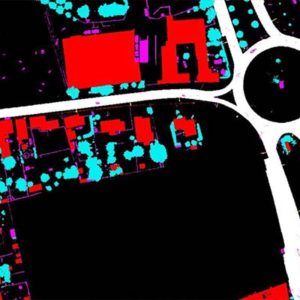
The objective of the project is to classify the LiDAR data for low points and air points filtered and the ground Classified using automated Terrascan algorithms. However, the data required Validation and editing to produce a first pulse DSM (an all features model) and last pulse DTM (bare earth model).
Inputs
- Calibrated raw point cloud in LAS format
- Tile layout in DGN format
- Point Class file in PTC format
Scope
The Scope of the project included the following elements.
- Ground
- Building
- High Vegetation
- Low point
- Air point
- Bridge

Deliverables:
- Classified LiDAR data
- 25 centimeter ASCII grid format
- Classified DTM LiDAR data
- Classified DSM LiDAR data
