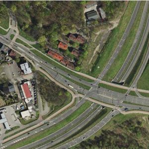
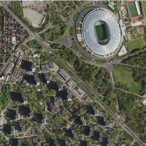
UM/316/2020/Orthophoto
- Duration: 8 weeks (2600 Hours)
- Year: 2020
- Area : 2360 km2
- Total Manpower : 10
- Location: Poland
- Service Type: Orthophoto

Objective
Objective of the project is to do Aerial triangulation, Generation of 1m DTM and 5cm Orthophotomaps.
Inputs
- 32000 Raw images
- EO parameter
- Camera Details
- GCPs
Scope
- The Scope of the project included the following elements.

- The client prefers ZI Imaging/ISAT software for aerial triangulation (Sigma Accuracy < 3um)
- DTM must be prepared based on archive data and new stereoscopic models . DTM grid 1m x 1m in ESRI GRID Format.(Accuracy 0.2m)
- 4cm RGB 24bit/pix Geotiff Tile 256x256 format( Accuracy 0.2m)
Deliverables:
- AT project files before and after adjustment and AT Reports and maps.
- DTM ESRI GRID, grid 1m x 1m, DTM-Tiles according to clients shp file.
- Orthophoto tiles according to clients shp file.
- Seamlines data in .shp format.
