Skip to content
Unique Maps
Mapping solutions
Home
About
Services
Aerial Imagery & LiDAR
Photogrammetry
Orthophoto
UAV Image Processing
LiDAR
Mobile Mapping
3D City Modeling
GIS and Utility
GIS Data Conversion
Vegetation Management
Scan to BIM
Architectural BIM
Structural BIM
MEP BIM
CAD Drafting
Oil and Gas
Industries
Contact
Home
About
Services
Aerial Imagery & LiDAR
Photogrammetry
Orthophoto
UAV Image Processing
LiDAR
Mobile Mapping
3D City Modeling
GIS and Utility
GIS Data Conversion
Vegetation Management
Scan to BIM
Architectural BIM
Structural BIM
MEP BIM
CAD Drafting
Oil and Gas
Industries
Contact
Case Study
View all
BIM
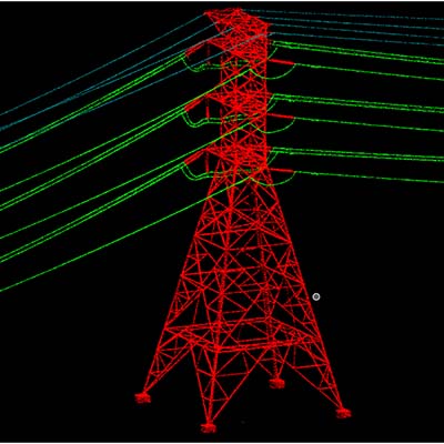
LiDAR
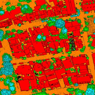
Orthophoto
Sort by date
Sort by name
Descending
Ascending
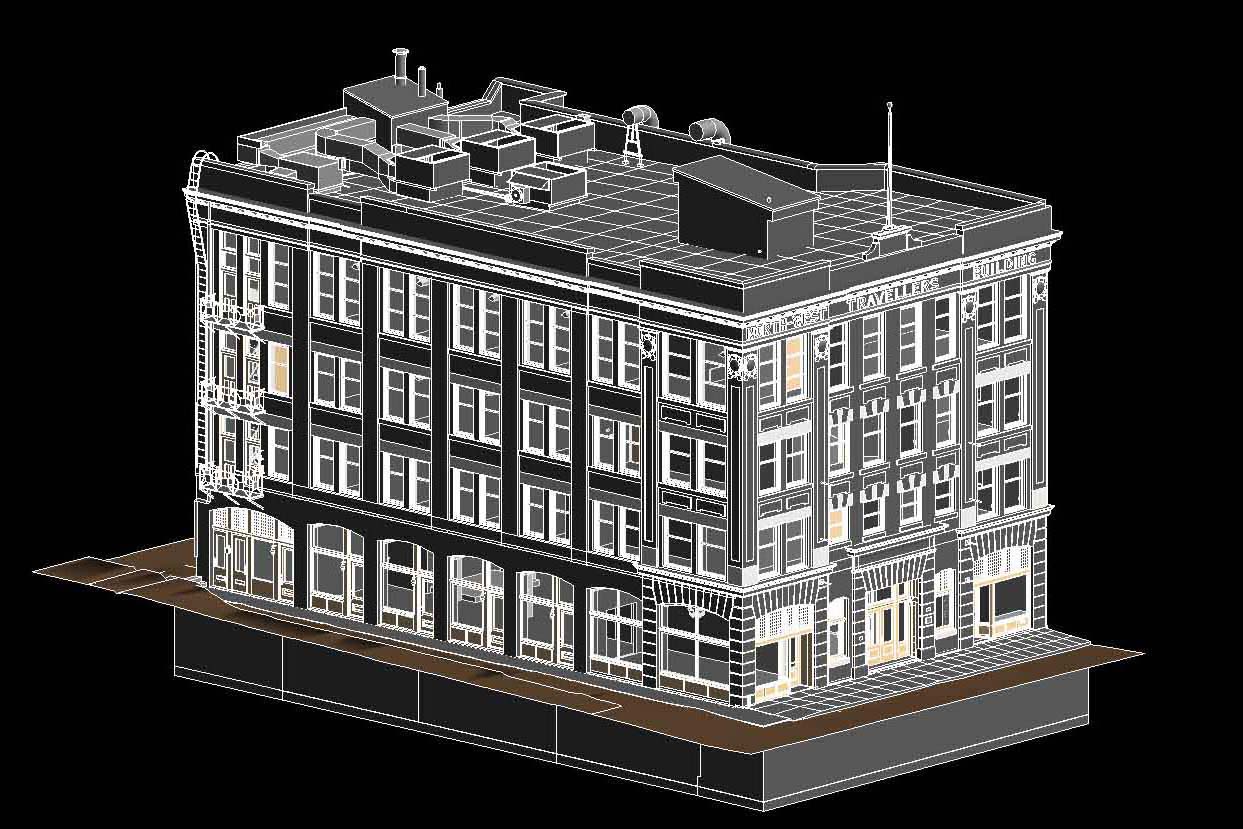
BIM
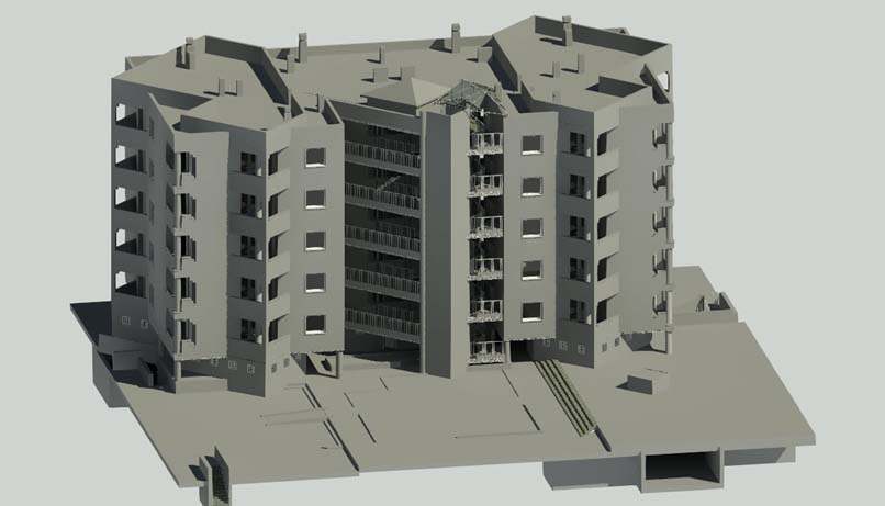
BIM
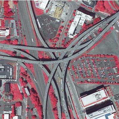
Orthophoto
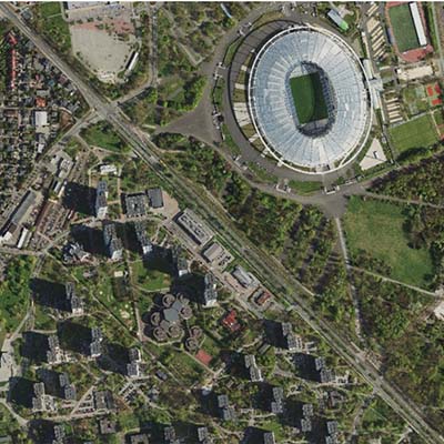
Orthophoto
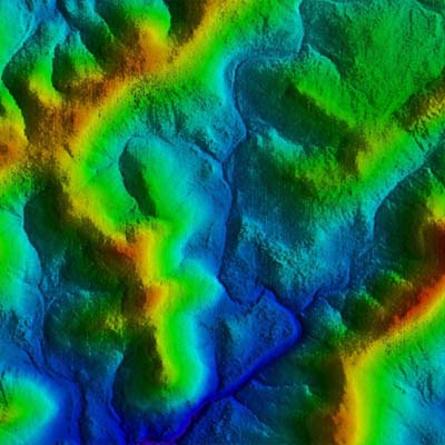
LiDAR
LiDAR
LiDAR
Load more
Go to Top