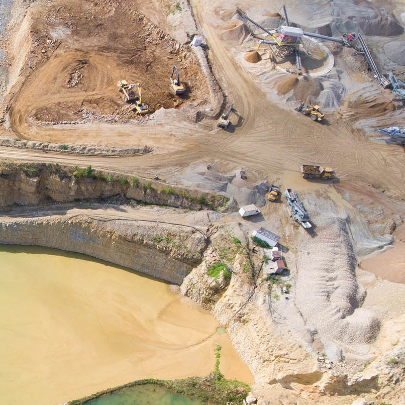
Skip to content
Unique Maps
Mapping solutions
Unique Maps
  • Home
  • About
  • Services
    • Aerial Imagery & LiDAR
        • Photogrammetry
        • Orthophoto
        • UAV Image Processing
        • LiDAR
        • Mobile Mapping
        • 3D City Modeling
    • GIS and Utility
        • GIS Data Conversion
        • Vegetation Management ​
        • Data Annotation
        • GIS Utility Mapping
        • GIS Telecom
    • Scan to BIM
        • Architectural BIM
        • Structural BIM
        • MEP BIM
        • CAD Drafting
        • Oil and Gas
  • Industries
  • Contact

Portfolio Archives: INDUSTRIES

ZoomDetails

OIL & GAS

INDUSTRIESBy superMarch 15, 2020

Pellen papibus, purus et sem mattis egestas.

ZoomDetails

Urban Planning

INDUSTRIESBy superMarch 15, 2020

Quisque malesuada – in sem at lorem numa glavrida amet maximus.

ZoomDetails

Mining

INDUSTRIESBy superMarch 15, 2020

Glavrida from amet – nullam porta nulla.

ZoomDetails

Forest Management

INDUSTRIESBy superMarch 11, 2020

Purus et creative varius sem nibh mattis in creative varius egestas.
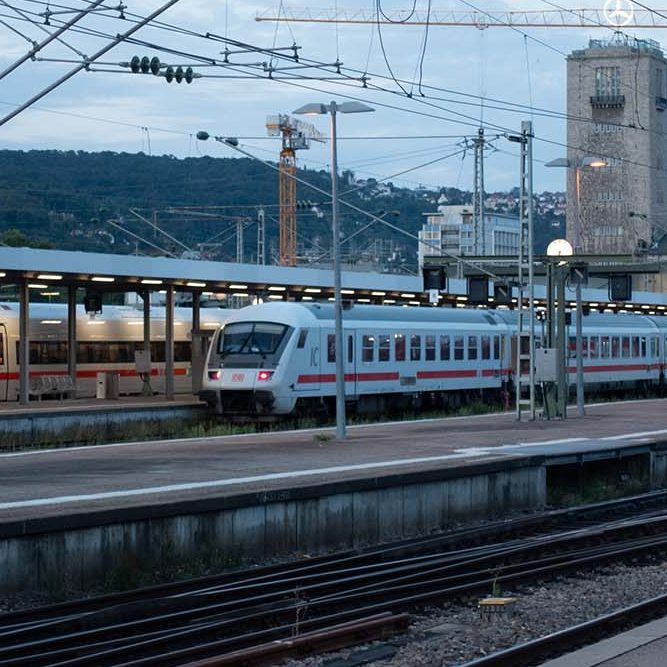
ZoomDetails

Transportation

INDUSTRIESBy superMarch 11, 2020

Donec dignissim gravida posuere sagittis dolor.
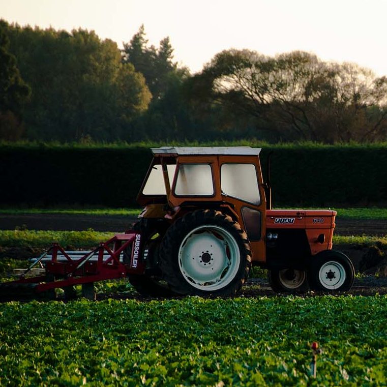
ZoomDetails

GIS for Agriculture

INDUSTRIESBy superMarch 11, 2020

Glavrida from amet – lorem glavrida nullam porta nulla non arcu lorem.

ZoomDetails

EMS

INDUSTRIESBy superMarch 11, 2020

Lorem ipsum amet – nullam arcu tempus.

Unique Maps, certified with ISO 9001:2015 and ISO/IEC 27001 by an IAF-accredited body, ensures high-quality and secure geospatial data for smarter development.

  • Aerial Imagery Processing
  • UAV Imagery Processing
  • Orthophoto Processing
  • Aerial LiDAR
  • Mobile LiDAR
  • GIS Data Conversion
  • Utility Mapping
  • GIS Telecommunication
  • Data Annotation
  • Vegetation Management
  • Scan to Architectural BIM
  • Scan to MEP BIM
  • Oil and Gas 3D Modeling
  • CAD Drafting
  • 3D City Modeling

© 2012 – 2025 Unique Maps Mapping Solutions. All rights reserved.

Privacy
Terms
Go to Top