UM/314/2020/LiDAR
- Duration: 4 weeks (1200 Hours)
- Yaer: 2020
- Length : 500 Miles
- Total Manpower : 10
- Location: USA
- Service Type: LiDAR

Objective
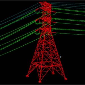
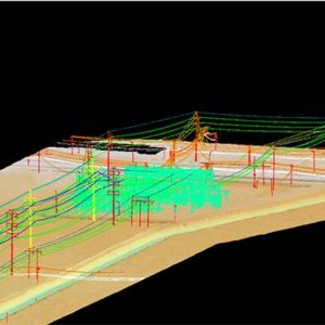
The objective of the project to classify all Power line related structures.
Inputs
- Calibrated raw point cloud in LAS format
- Tile layout in DGN format
- Point Class file in PTC format
- Orthophoto In ECW format
Scope
The Scope of the project included the following elements.
- Bare Earth Classification
- Vegetation Classification
- Conductors, Shield Wire, Tower, Poles and Substation Classification.
- Conductor Attachment at Insulator
- Insulator Attachment at Tower
- Tower Top & Bottom
- Other Features Classification (Building, Woodpiles, Sign board, Traffic Signals, Street Lines, Small Poles Etc.)
Deliverables:
- Classified LiDAR data
- DGN containing the attachment points

