UM/314/2020/LiDAR
- Duration: 8 weeks (1500 Hours)
- Yaer: 2020
- Area : 500 Miles
- Total Manpower : 18
- Location: USA
- Service Type: LiDAR

Objective
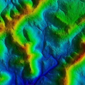
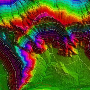
The Objective of the project is to is to classify a point cloud data to generate DTM and 1m Contour.
Inputs
- Calibrated raw point cloud in LAS format
- Tile layout in DGN format
- Point Class file in PTC format
- Orthophoto In ECW format
Scope
- The data will be classified into the preliminary (working) classes (not identical with the final classes) consisting of: 1 - Unclassified 2 - Ground 7 -Noise

- Points reflected from bare ground, that will serve for digital terrain production. Required reliability of classification ≥ 99.5%. (measured per 1 km2 )
- Flat water surfaces (with constant elevations like lakes, dams, etc..) larger than 150 m2 must be vectorized with 2D closed polygons. In case there is an island on the water area, this has to be vectorized by a closed polygon into the separate layer.
Deliverables:
- Classified point cloud tiles according to the specifications .
- 2D vectors of water surfaces .
- 3D breaklines under bridges.
- Point count statistics(per class and per tile) .
