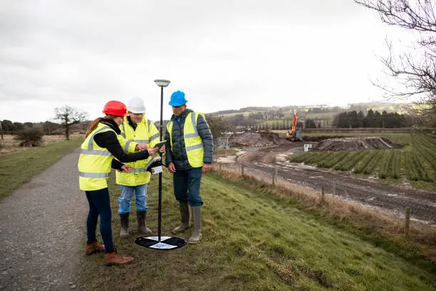
High-resolution aerial data for accurate mapping, planning, and analysis.
Delivering high-accuracy 3D data for mapping, analysis, and infrastructure planning.
Transforming spatial data into actionable insights through advanced analytics.
Accurate asset mapping and GIS data for efficient utility management.
Converting reality capture data into accurate and intelligent BIM models.
Delivering accurate and scalable annotation solutions for AI and machine learning.
Empowering industries with accurate mapping and spatial intelligence.
You don't need to waste your time and money anymore.