


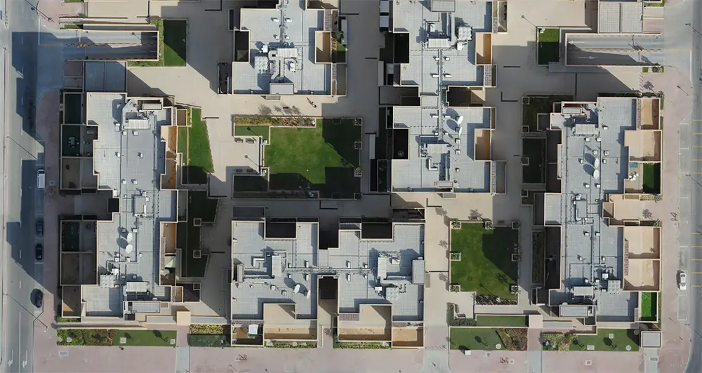
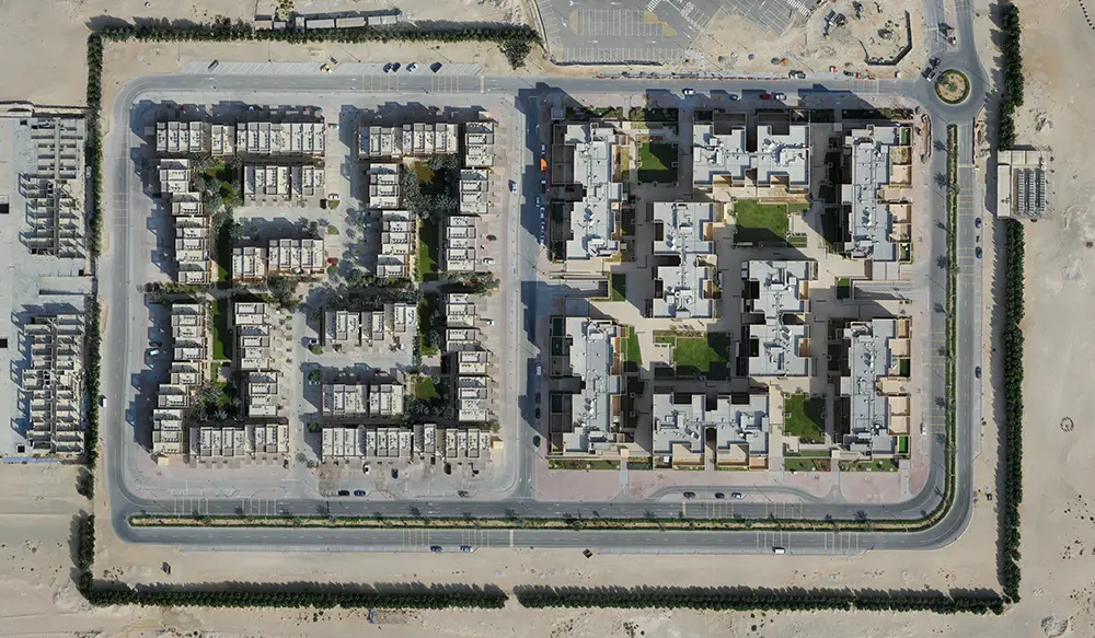
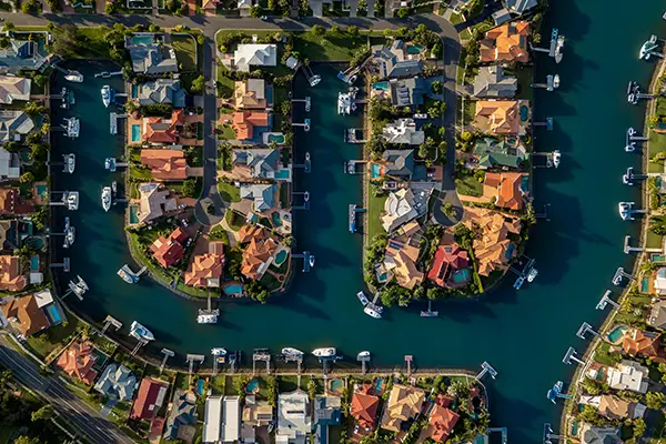
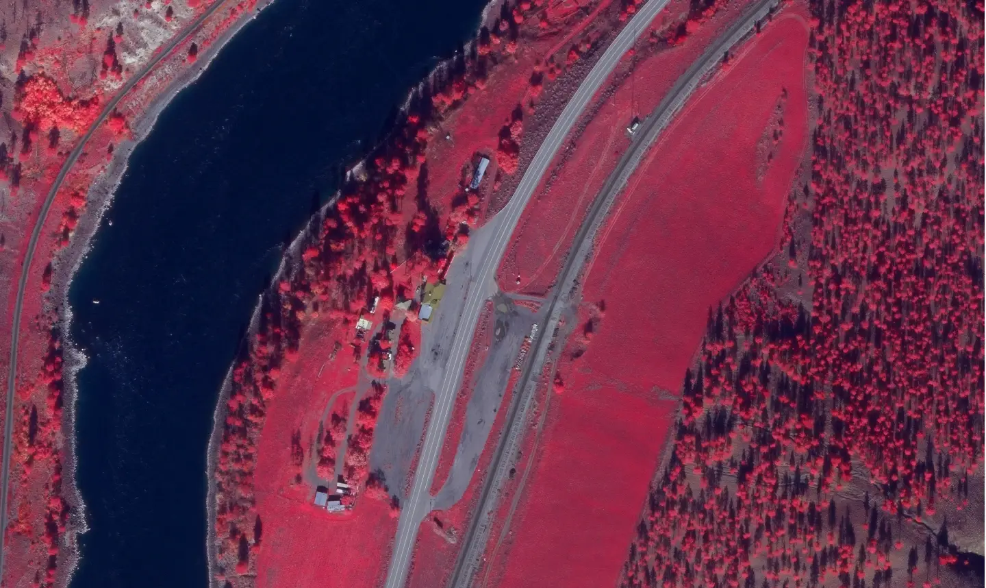
True orthophotos are geometrically corrected aerial images that remove building lean and perspective distortions caused by terrain and elevated structures. They provide a seamless, accurate top-down view of the Earth’s surface, making them ideal for urban planning, infrastructure development, utility management, and GIS applications.
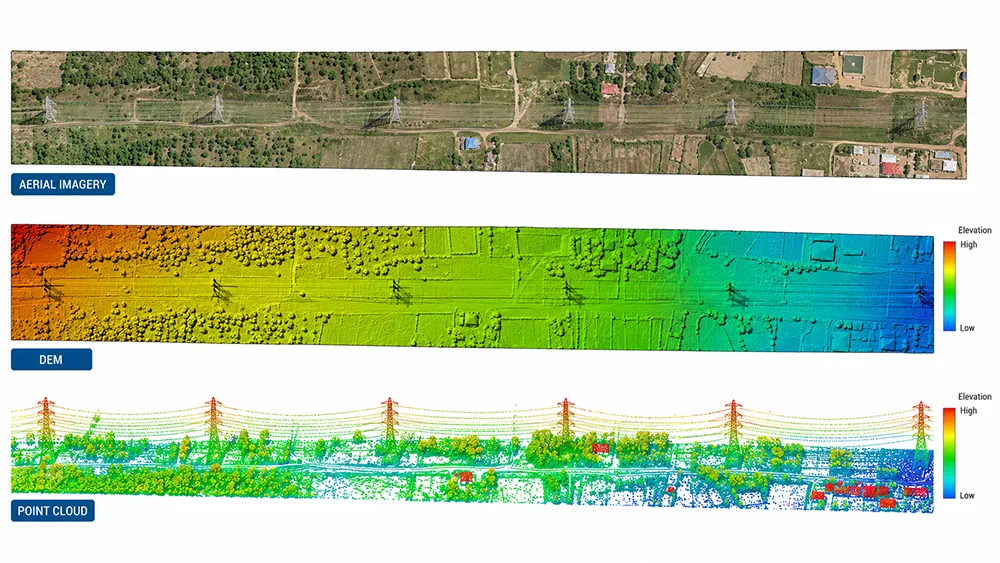
Unique Maps provides high-quality true orthophoto generation services using advanced photogrammetry, aerial triangulation, dense surface modeling, and terrain correction workflows. We deliver accurate and seamless true orthophoto datasets from aerial and UAV imagery for engineering, infrastructure, and geospatial projects.
Aerial or UAV imagery is reviewed to ensure sufficient overlap, image clarity, and positional consistency for accurate true orthophoto production.
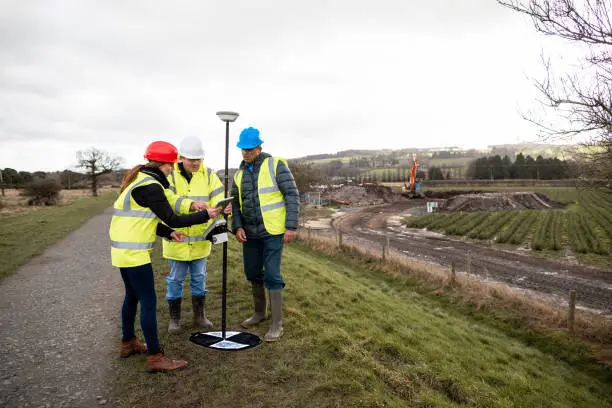
Photogrammetric workflows establish precise image orientation using tie points, ground control integration, and dense surface modeling techniques.
Images are geometrically corrected using detailed terrain and surface models to remove building lean and generate seamless true orthophoto outputs.
Comprehensive QA/QC procedures validate spatial accuracy, visual consistency, and final orthophoto quality before delivery.
Unique Maps uses cookies to enhance your browsing experience, analyze website traffic, and improve our services. By clicking "Accept" or continuing to use our website, you consent to our use of cookies as described in our Cookie Policy.
Manage your cookie preferences below:
Essential cookies enable basic functions and are necessary for the proper function of the website.
These cookies are needed for adding comments on this website.
You can find more information in our Cookie Policy and Privacy Policy.
