


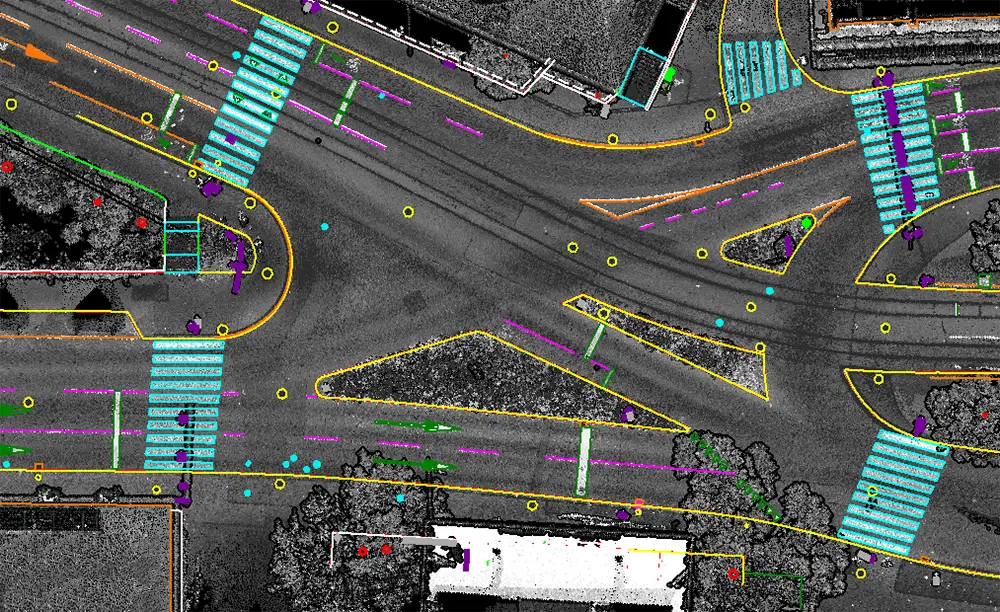
Mobile LiDAR mapping utilizes vehicle-mounted LiDAR systems to accurately capture and map ground features along roads, highways, urban corridors, and infrastructure networks. The technology enables rapid collection of high-density spatial data, supporting the extraction of roads, road markings, utility assets, traffic signs, street furniture, and other infrastructure features with exceptional accuracy.
Unique Maps provides high-quality mobile LiDAR planimetric mapping services using advanced point cloud processing, feature extraction, and geospatial mapping workflows. Our solutions deliver accurate and analysis-ready vector datasets for transportation, utility, smart city, and infrastructure projects.
Mobile LiDAR datasets are assessed for coverage, point density, accuracy, and data quality to support reliable feature extraction.
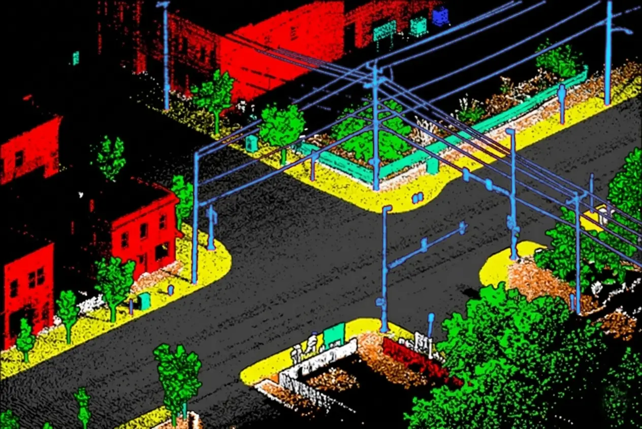
Advanced classification techniques are applied to identify roads, curbs, lane markings, traffic signs, utility assets, streetlights, barriers, and other infrastructure elements.
Extracted features are converted into accurate vector datasets and organized according to project specifications and mapping standards.
Comprehensive QA/QC procedures validate positional accuracy, feature completeness, and overall dataset quality before delivery.

Unique Maps uses cookies to enhance your browsing experience, analyze website traffic, and improve our services. By clicking "Accept" or continuing to use our website, you consent to our use of cookies as described in our Cookie Policy.
Manage your cookie preferences below:
Essential cookies enable basic functions and are necessary for the proper function of the website.
These cookies are needed for adding comments on this website.
You can find more information in our Cookie Policy and Privacy Policy.
